OLD MAPS OF INDIA
OLD MAPS OF INDIA
MAPS OF INDIA FROM 1ST AD TO 20TH CENTURY


The Indo-Parthian and Indo-Synthian era: 1 AD
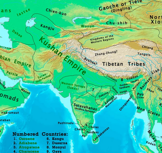
The Kushan Empire: 100 AD
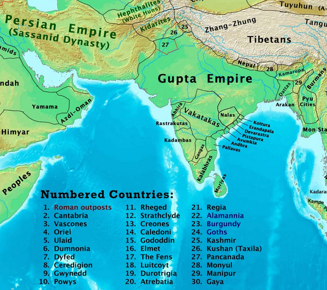


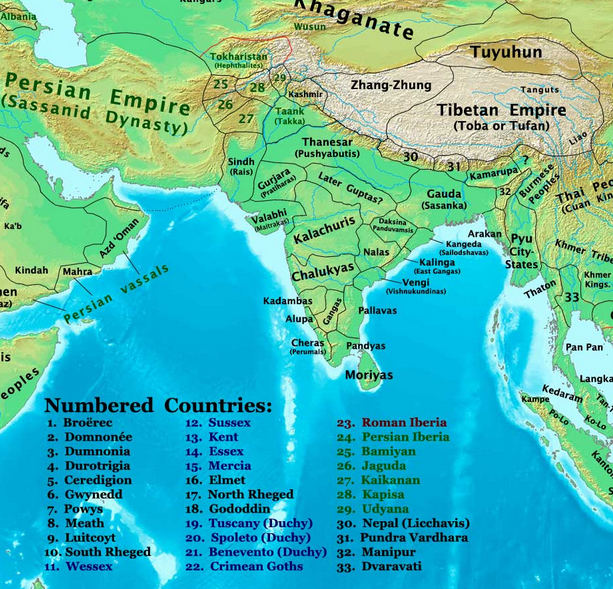
After the collapse of the Gupta Empire, a minor line of the clan ruled in Magadha. Down south, the Kalabhras kingdom crumbled.

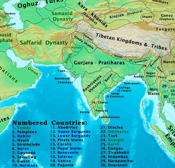
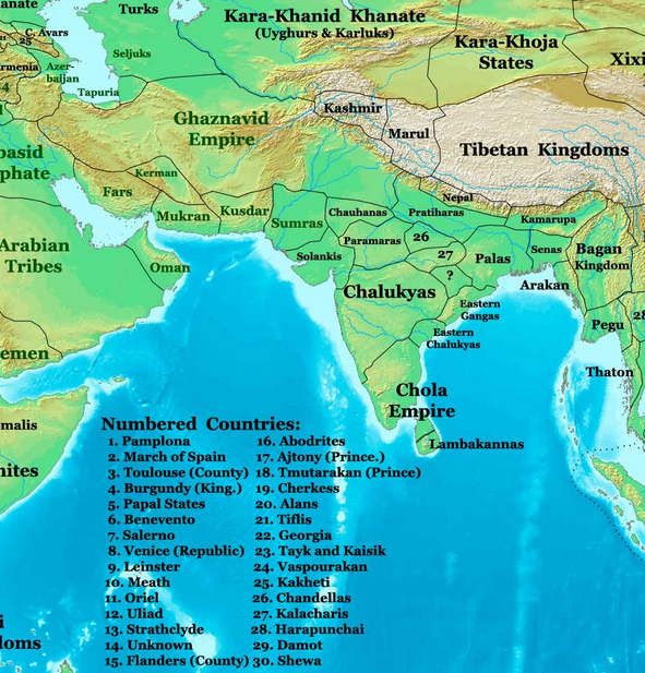
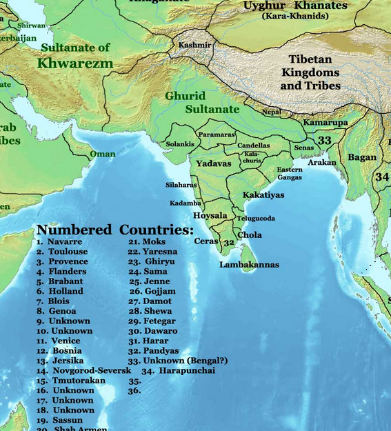

GHAZNAVID EMPIRE 1206-1526


No comments
thanks